
BOOKS
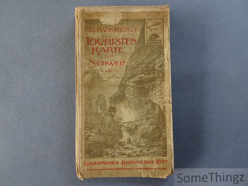
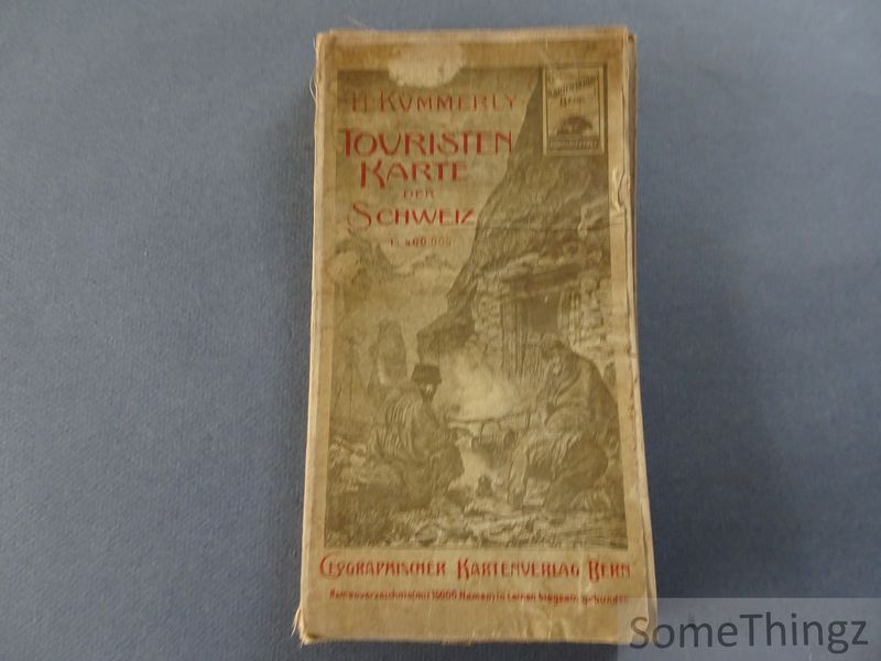
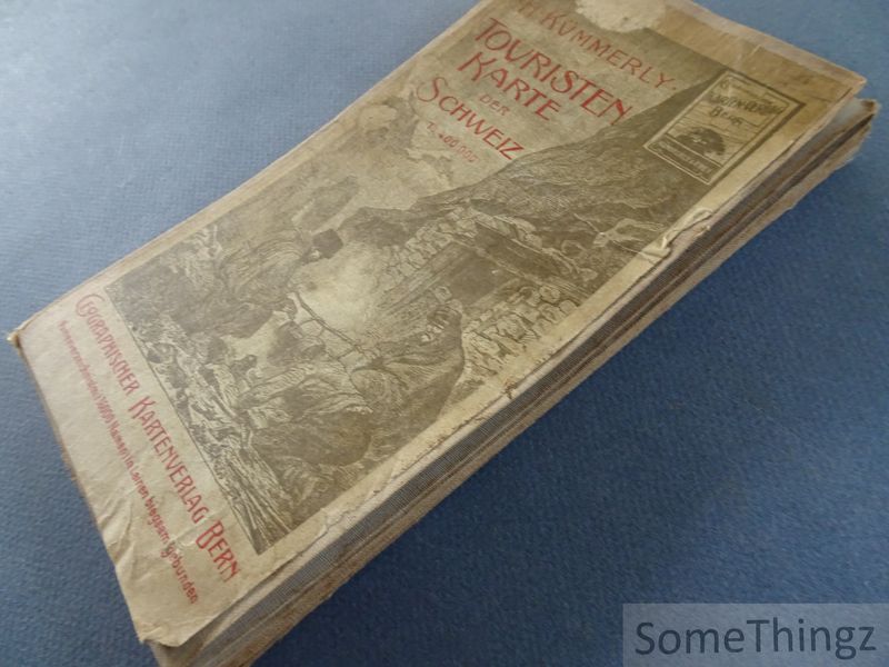
H. Kümmerly.
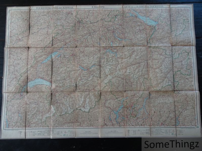
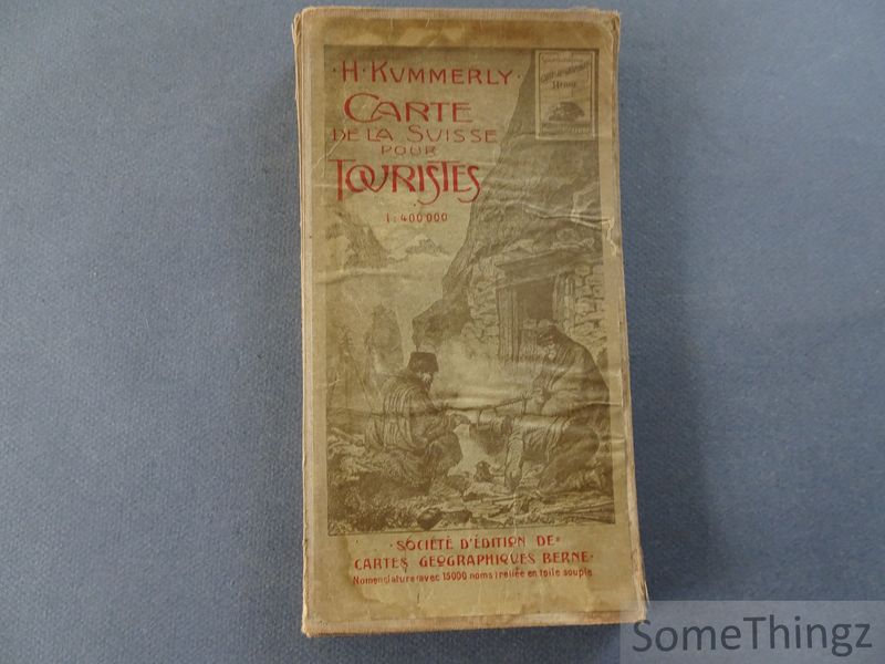
Touristenkarte der Schweiz. Namenverzeichnis (mit 150000Namen) in Leinen biegsam gebunden. = Carte de la Suisse pour touristes. Nomenclature (avec 15000 noms) reliée en toile souple. 1 : 400 000.
Bern, Geographischer KartenVerlag, ca 1912.

€ 25.00
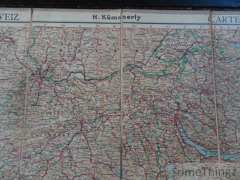
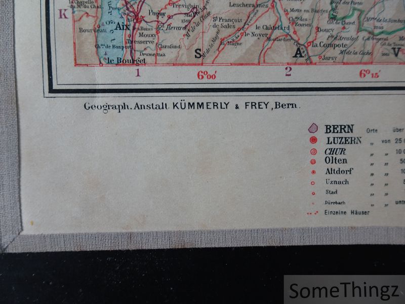
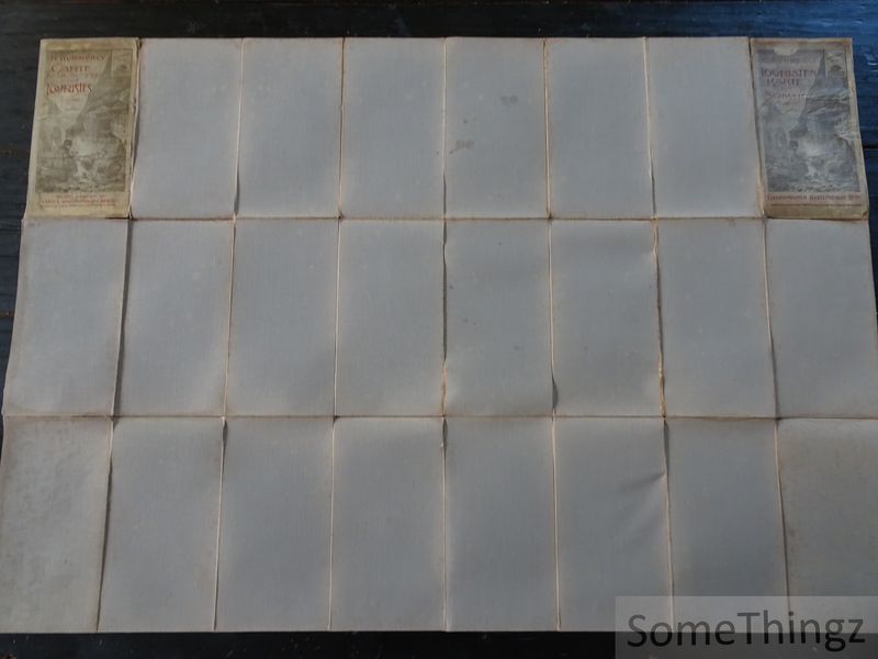
Large fold-out map, printed in col. and mounted on linen, 98x68 cm., in good condition (linen weak and at some paces a bit torn along the folds).
Itemnummer 21784 
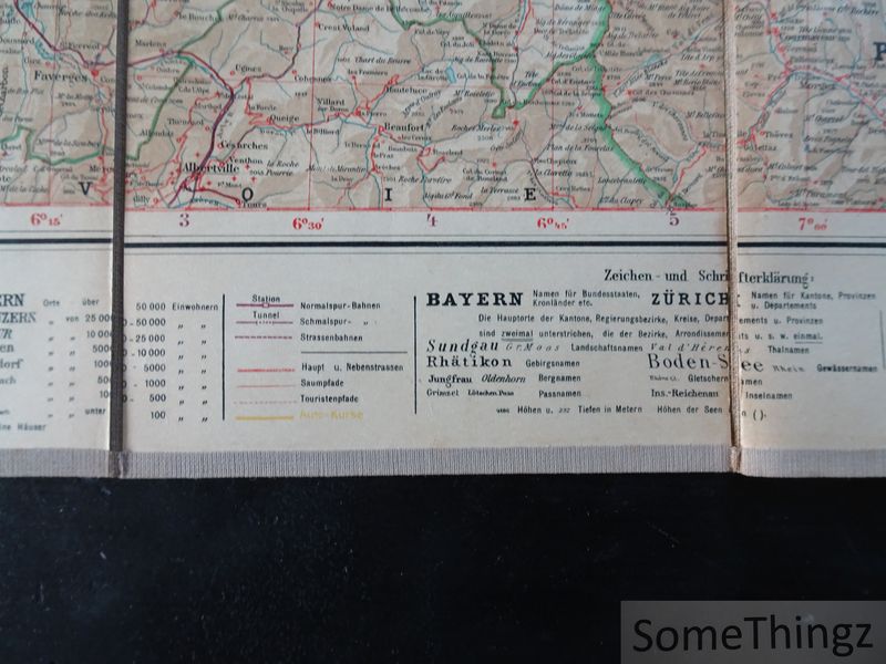
This beautiful historical map provides a fascinating picture of Switzerland as a tourist destination at the beginning of the 20th century. The country's most important geographical features are brought together on a single, clear map, revealing the interconnectedness of major cities as well as mountain regions, valleys, transport links, and tourist destinations. The scale of 1:400,000 makes the map particularly suitable for studying Switzerland's historical tourist infrastructure. At the same time, it is interesting as a historical document: the depicted roads, railway connections, and place names reflect the Swiss landscape and transport network of over a century ago. The bilingual design, with German and French names, suits the multilingual character of Switzerland. Furthermore, the meticulous cartographic execution and the multicolored illustration make the map attractive as a decorative historical document. For collectors of old maps, Switzerland, historical cartography, and tourist documents, this is a particularly interesting piece. The combination of early tourist cartography, the name Kümmerly & Frey, and the large, beautifully detailed map, in particular, makes this edition attractive as a collector's item. (AI-generated content description)