
BOOKS
Rik Neven (red.) ; Marc Sourbron (fotogr.).
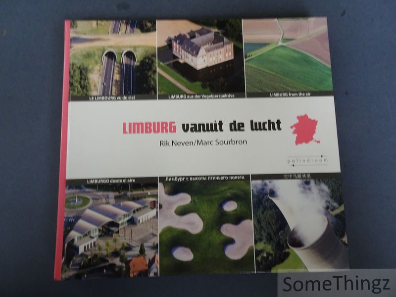
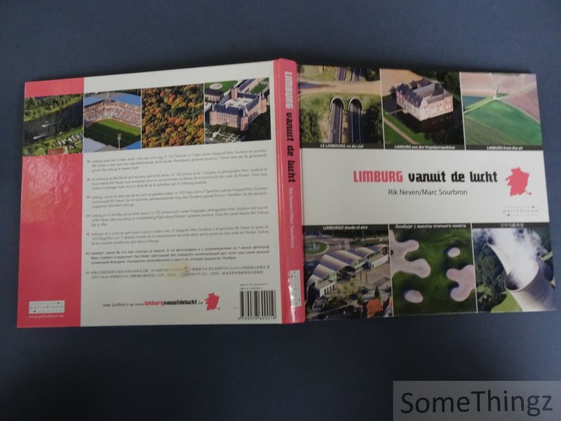
Limburg vanuit de lucht. [tekst NED-FR-DE-ENG-ES-RU-ZH]
Zutendaal / Hasselt, Palindroom, 2006.

€ 12.00
Gebonden / bound, 179pp., 25x23cm., rijkelijk geïllustr. in kleur / richly illustr. in colour, in zeer goede staat / in very good condition. ISBN: 9789078699019.
Itemnummer 20762 
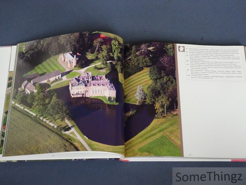
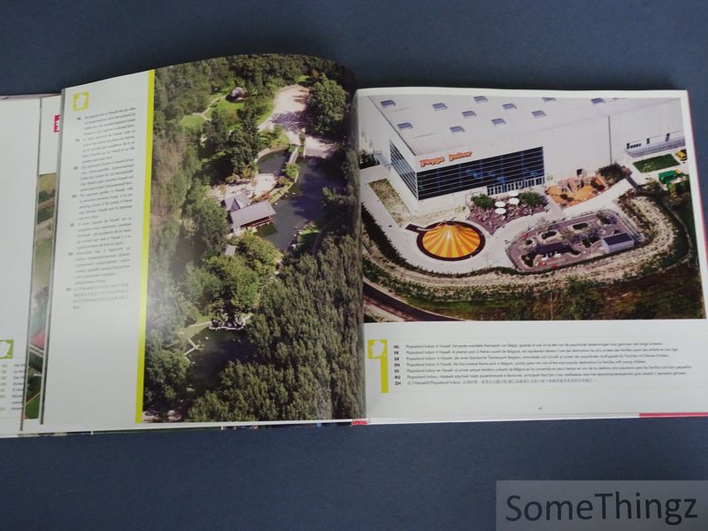
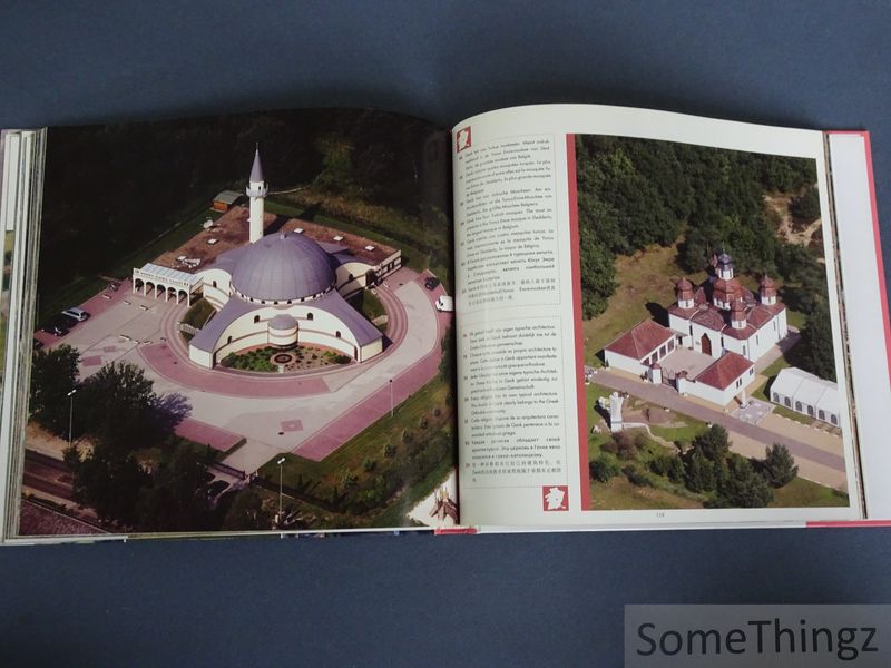
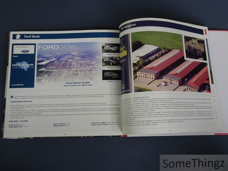
Deze luxueus uitgegeven fotopublicatie documenteert de provincie Limburg aan de hand van grootschalige luchtfotografie. Het werk behandelt uiteenlopende aspecten van het Limburgse landschap, waaronder historische stadscentra, landelijke dorpen, industriezones, natuurreservaten, toeristische trekpleisters en monumentale erfgoedsites. De luchtbeelden tonen onder meer kastelen, abdijen, kerken, mijnsites, kanalen, landbouwgebieden en recreatiedomeinen. De publicatie sluit aan bij de traditie van regionale fotoboeken waarin landschap, erfgoed en ruimtelijke identiteit centraal staan. Door het gebruik van luchtfotografie ontstaat een bijzondere visuele documentatie van de geografische structuur en ruimtelijke ontwikkeling van Limburg aan het begin van de eenentwintigste eeuw. De meertalige onderschriften maken het werk toegankelijk voor een internationaal publiek en versterken het karakter van representatief relatiegeschenk en toeristische promotie-uitgave. De fotografie legt zowel historische continuïteit als moderne infrastructuur vast en vormt daardoor tegelijk een artistiek en documentair tijdsbeeld van de provincie Limburg. / This lavishly produced photo book documents the province of Limburg through large-scale aerial photography. The work covers a wide range of aspects of the Limburg landscape, including historic town centres, rural villages, industrial estates, nature reserves, tourist attractions and listed heritage sites. The aerial images depict, among other things, castles, abbeys, churches, mining sites, canals, agricultural areas and recreational areas. The publication follows the tradition of regional photo books in which landscape, heritage and spatial identity take centre stage. The use of aerial photography creates a unique visual record of Limburg?s geographical structure and spatial development at the beginning of the twenty-first century. The multilingual captions make the work accessible to an international audience and reinforce its character as a representative corporate gift and a publication for tourism promotion. The photography captures both historical continuity and modern infrastructure, thereby forming an artistic and documentary snapshot of the province of Limburg.